
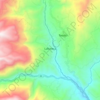
Labateca topographic map
Interactive map
Click on the map to display elevation.
About this map
Name: Labateca topographic map, elevation, terrain.
Location: Labateca, Norte de Santander, Colombia (7.25878 -72.53420 7.33878 -72.45420)
Average elevation: 1,799 m
Minimum elevation: 1,220 m
Maximum elevation: 2,804 m