
Lennewarden topographic map
Interactive map
Click on the map to display elevation.
About this map
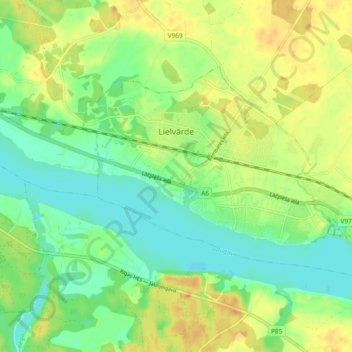
Name: Lennewarden topographic map, elevation, terrain.
Location: Lennewarden, Ogres novads, Semgallen, Lettland (56.70370 24.77088 56.73594 24.86469)
Average elevation: 42 m
Minimum elevation: 28 m
Maximum elevation: 58 m