
Puente de los Serranos topographic map
Interactive map
Click on the map to display elevation.
About this map
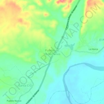
Name: Puente de los Serranos topographic map, elevation, terrain.
Location: Puente de los Serranos, Querecotillo, Sullana, Piura, Perú (-4.80423 -80.62979 -4.76423 -80.58979)
Average elevation: 74 m
Minimum elevation: 44 m
Maximum elevation: 140 m