
Hana topographic map
Interactive map
Click on the map to display elevation.
About this map
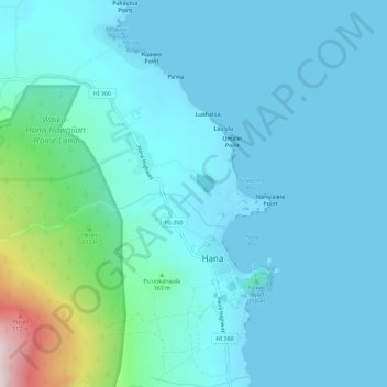
Name: Hana topographic map, elevation, terrain.
Location: Hana, Maui County, Hawaii, United States (20.73960 -156.01193 20.79295 -155.97677)
Average elevation: 78 m
Minimum elevation: -1 m
Maximum elevation: 594 m