
Avon topographic map
Interactive map
Click on the map to display elevation.
About this map
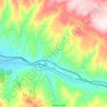
Name: Avon topographic map, elevation, terrain.
Location: Avon, Eagle County, Colorado, USA (39.62365 -106.55590 39.66822 -106.44437)
Average elevation: 2,756 m
Minimum elevation: 2,262 m
Maximum elevation: 3,219 m