
Portlock topographic map
Click on the map to display elevation.
About this map
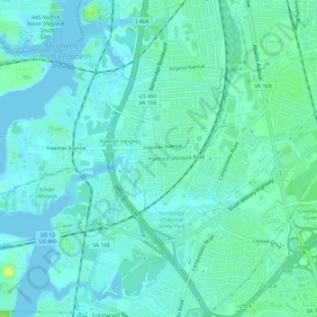
Name: Portlock topographic map, elevation, terrain.
Location: Portlock, Chesapeake, Virginia, 23324, United States (36.76515 -76.29744 36.80515 -76.25744)
Average elevation: 5 m
Minimum elevation: -1 m
Maximum elevation: 22 m
Other topographic maps
Click on a map to view its topography, its elevation and its terrain.