
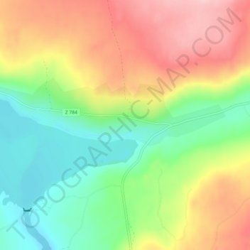
Laxviken topographic map
Interactive map
Click on the map to display elevation.
About this map
Name: Laxviken topographic map, elevation, terrain.
Location: Laxviken, Krokoms kommun, Provinz Jämtland, Schweden (63.78250 14.68385 63.82250 14.72385)
Average elevation: 390 m
Minimum elevation: 310 m
Maximum elevation: 492 m