
Thank you for supporting this site ❤️
Make a donation
Make a donation
Bertram topographic map
Click on the map to display elevation.
Thank you for supporting this site ❤️
Make a donation
Make a donation
About this map
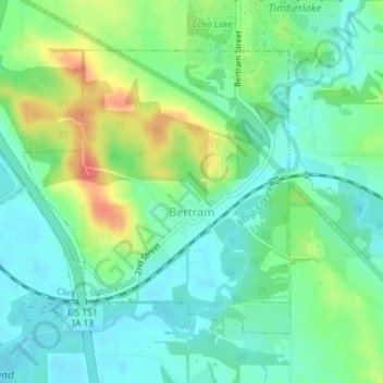
Name: Bertram topographic map, elevation, terrain.
Location: Bertram, Linn County, Iowa, United States (41.94152 -91.55637 41.96151 -91.52584)
Average elevation: 232 m
Minimum elevation: 213 m
Maximum elevation: 270 m
Thank you for supporting this site ❤️
Make a donation
Make a donation