
Thank you for supporting this site ❤️
Make a donation
Make a donation
Quela topographic map
Click on the map to display elevation.
Thank you for supporting this site ❤️
Make a donation
Make a donation
About this map
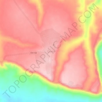
Name: Quela topographic map, elevation, terrain.
Location: Quela, Malanje, Angola (-9.28570 17.05287 -9.24570 17.09287)
Average elevation: 1,144 m
Minimum elevation: 991 m
Maximum elevation: 1,216 m
Thank you for supporting this site ❤️
Make a donation
Make a donation