
Tetto Pertus topographic map
Interactive map
Click on the map to display elevation.
About this map
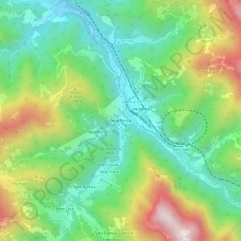
Name: Tetto Pertus topographic map, elevation, terrain.
Location: Tetto Pertus, Vernante, Coni, Piémont, 12019, Italie (44.22192 7.51112 44.26192 7.55112)
Average elevation: 1,034 m
Minimum elevation: 738 m
Maximum elevation: 1,571 m