
İznik topographic map
Interactive map
Click on the map to display elevation.
About this map
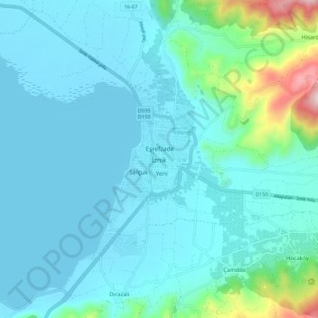
Name: İznik topographic map, elevation, terrain.
Location: İznik, Bursa, Marmara Bölgesi, 16860, Turquie (40.39034 29.68237 40.47034 29.76237)
Average elevation: 162 m
Minimum elevation: 83 m
Maximum elevation: 682 m