
Grad Trilj topographic map
Interactive map
Click on the map to display elevation.
About this map
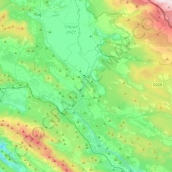
Name: Grad Trilj topographic map, elevation, terrain.
Location: Grad Trilj, Comitat de Split-Dalmatie, Croatie (43.52254 16.65049 43.68565 16.97332)
Average elevation: 530 m
Minimum elevation: 69 m
Maximum elevation: 1,780 m