
Tosa topographic map
Interactive map
Click on the map to display elevation.
About this map
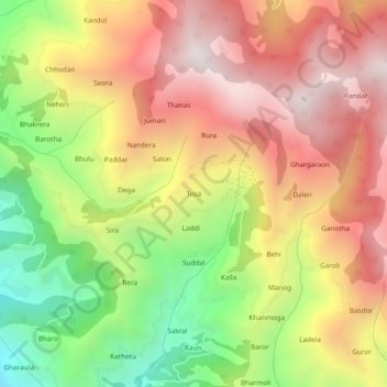
Name: Tosa topographic map, elevation, terrain.
Location: Tosa, Chamba, Chamba District, Himachal Pradesh, 176319, India (32.60577 76.10498 32.64577 76.14498)
Average elevation: 1,674 m
Minimum elevation: 931 m
Maximum elevation: 2,308 m