
Ayarza topographic map
Interactive map
Click on the map to display elevation.
About this map
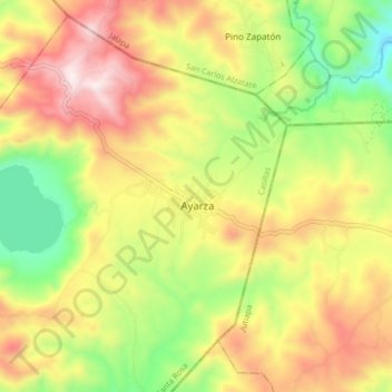
Name: Ayarza topographic map, elevation, terrain.
Location: Ayarza, Casillas, Santa Rosa, Guatemala (14.37538 -90.10609 14.45538 -90.02609)
Average elevation: 1,677 m
Minimum elevation: 1,279 m
Maximum elevation: 2,103 m