
Thank you for supporting this site ❤️
Make a donation
Make a donation
Avon topographic map
Click on the map to display elevation.
Thank you for supporting this site ❤️
Make a donation
Make a donation
About this map
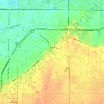
Name: Avon topographic map, elevation, terrain.
Location: Avon, Lorain County, Ohio, 44011, United States (41.41834 -82.06797 41.47864 -81.96945)
Average elevation: 202 m
Minimum elevation: 182 m
Maximum elevation: 220 m
Thank you for supporting this site ❤️
Make a donation
Make a donation