
Montúfar topographic map
Interactive map
Click on the map to display elevation.
About this map
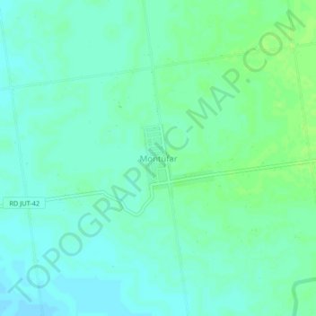
Name: Montúfar topographic map, elevation, terrain.
Location: Montúfar, Moyuta, Jutiapa, Guatemala (13.79153 -90.17494 13.83153 -90.13494)
Average elevation: 9 m
Minimum elevation: 4 m
Maximum elevation: 15 m
Other topographic maps
Click on a map to view its topography, its elevation and its terrain.