
Sullington Warren topographic map
Interactive map
Click on the map to display elevation.
About this map
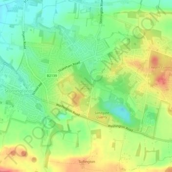
Name: Sullington Warren topographic map, elevation, terrain.
Average elevation: 54 m
Minimum elevation: 22 m
Maximum elevation: 95 m
Other topographic maps
Click on a map to view its topography, its elevation and its terrain.
Sullington
United Kingdom > England > West Sussex > Horsham > Storrington
Sullington, Storrington and Sullington, Storrington, Horsham, West Sussex, England, RH20 4AE, United Kingdom
Average elevation: 93 m