
Distrito topographic map
Interactive map
Click on the map to display elevation.
About this map
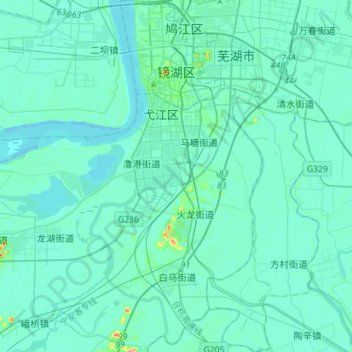
Name: Distrito topographic map, elevation, terrain.
Location: Distrito, Wuhu, Anhui, China (31.14898 118.33437 31.39108 118.49417)
Average elevation: 8 m
Minimum elevation: -5 m
Maximum elevation: 95 m
Other topographic maps
Click on a map to view its topography, its elevation and its terrain.