
Thank you for supporting this site ❤️
Make a donation
Make a donation
Summit topographic map
Click on the map to display elevation.
Thank you for supporting this site ❤️
Make a donation
Make a donation
About this map
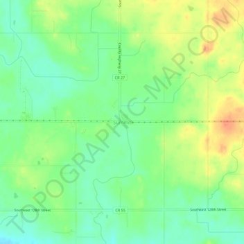
Name: Summit topographic map, elevation, terrain.
Location: Summit, Steele County, Minnesota, United States (43.90080 -93.20548 43.94080 -93.16548)
Average elevation: 376 m
Minimum elevation: 356 m
Maximum elevation: 402 m
Thank you for supporting this site ❤️
Make a donation
Make a donation
Other topographic maps
Click on a map to view its topography, its elevation and its terrain.