
Londres topographic map
Interactive map
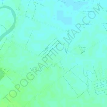
Click on the map to display elevation.
About this map
Name: Londres topographic map, elevation, terrain.
Average elevation: 73 m
Minimum elevation: 69 m
Maximum elevation: 78 m
Other topographic maps
Click on a map to view its topography, its elevation and its terrain.
Perímetro Urbano Cúcuta
Colombia > Norte de Santander > Cúcuta
Perímetro Urbano Cúcuta, Cúcuta, Oriental, Norte de Santander, RAP Gran Santander, Colombia
Average elevation: 314 m