
Merscheid topographic map
Interactive map
Click on the map to display elevation.
About this map
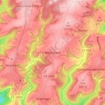
Name: Merscheid topographic map, elevation, terrain.
Location: Merscheid, Canton Vianden, 9807, Luxembourg (49.93408 6.08510 49.97408 6.12510)
Average elevation: 458 m
Minimum elevation: 284 m
Maximum elevation: 522 m