
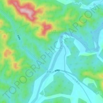
大河沿 topographic map
Interactive map
Click on the map to display elevation.
About this map
Name: 大河沿 topographic map, elevation, terrain.
Location: 大河沿, Lu'an, Anhui, China (31.24543 116.62362 31.28543 116.66362)
Average elevation: 120 m
Minimum elevation: 60 m
Maximum elevation: 300 m