
Sa topographic map
Interactive map
Click on the map to display elevation.
About this map
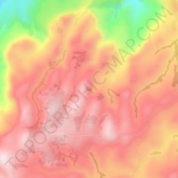
Name: Sa topographic map, elevation, terrain.
Location: Sa, Nkambe, Donga-Mantung, Northwest, Cameroon (6.59190 10.74960 6.63190 10.78960)
Average elevation: 1,569 m
Minimum elevation: 1,238 m
Maximum elevation: 1,722 m