
Goldman topographic map
Interactive map
Click on the map to display elevation.
About this map
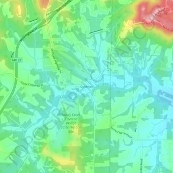
Name: Goldman topographic map, elevation, terrain.
Location: Goldman, Jefferson County, Missouri, 63024, USA (38.27728 -90.54151 38.31728 -90.50151)
Average elevation: 173 m
Minimum elevation: 133 m
Maximum elevation: 280 m