
Lime Ridge topographic map
Interactive map
Click on the map to display elevation.
About this map
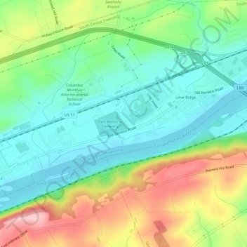
Name: Lime Ridge topographic map, elevation, terrain.
Location: Lime Ridge, Columbia County, Pennsylvania, USA (41.01335 -76.37998 41.03343 -76.32604)
Average elevation: 195 m
Minimum elevation: 139 m
Maximum elevation: 297 m