
Wilson Creek topographic map
Interactive map
Click on the map to display elevation.
About this map
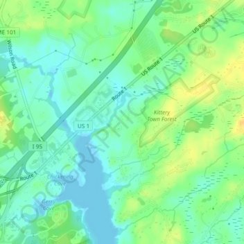
Name: Wilson Creek topographic map, elevation, terrain.
Average elevation: 11 m
Minimum elevation: -5 m
Maximum elevation: 27 m
Other topographic maps
Click on a map to view its topography, its elevation and its terrain.
Eagle Point
United States > Maine > York County > Kittery
Eagle Point, Kittery, York County, Maine, 03094, United States
Average elevation: 8 m