
Thank you for supporting this site ❤️
Make a donation
Make a donation
Convento topographic map
Click on the map to display elevation.
Thank you for supporting this site ❤️
Make a donation
Make a donation
About this map
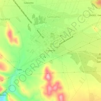
Name: Convento topographic map, elevation, terrain.
Location: Convento, Santiváñez, Capinota, Cochabamba, Bolivia (-17.58349 -66.26990 -17.54349 -66.22990)
Average elevation: 2,559 m
Minimum elevation: 2,454 m
Maximum elevation: 2,673 m
Thank you for supporting this site ❤️
Make a donation
Make a donation