
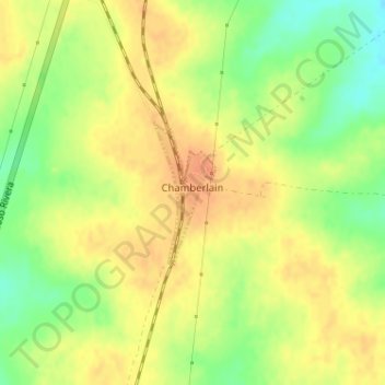
Chamberlain topographic map
Interactive map
Click on the map to display elevation.
About this map
Name: Chamberlain topographic map, elevation, terrain.
Location: Chamberlain, Tacuarembó, 45100, Uruguay (-32.69327 -56.48028 -32.68328 -56.47505)
Average elevation: 121 m
Minimum elevation: 96 m
Maximum elevation: 138 m