
Gemeinde Vösendorf topographic map
Interactive map
Click on the map to display elevation.
About this map
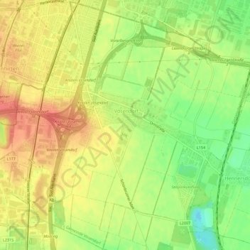
Name: Gemeinde Vösendorf topographic map, elevation, terrain.
Location: Gemeinde Vösendorf, Bezirk Mödling, Lower Austria, Austria (48.10111 16.31036 48.13779 16.36599)
Average elevation: 198 m
Minimum elevation: 166 m
Maximum elevation: 222 m