
Manatí topographic map
Interactive map
Click on the map to display elevation.
About this map
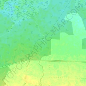
Name: Manatí topographic map, elevation, terrain.
Location: Manatí, Puerto Padre, Las Tunas, Cuba (21.23470 -76.87453 21.29301 -76.85813)
Average elevation: 8 m
Minimum elevation: -2 m
Maximum elevation: 17 m
Other topographic maps
Click on a map to view its topography, its elevation and its terrain.
La Division
Cuba > Las Tunas > La Division
La Division, Puerto Padre, Las Tunas, Cuba
Average elevation: 55 m