
Besana topographic map
Interactive map
Click on the map to display elevation.
About this map
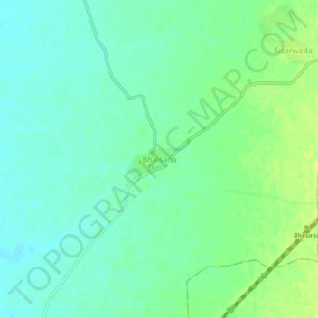
Name: Besana topographic map, elevation, terrain.
Location: Besana, Sojat Tehsil, Pali, Rajasthan, India (25.81245 73.67662 25.85245 73.71662)
Average elevation: 280 m
Minimum elevation: 273 m
Maximum elevation: 289 m