
Kwa topographic map
Interactive map
Click on the map to display elevation.
About this map
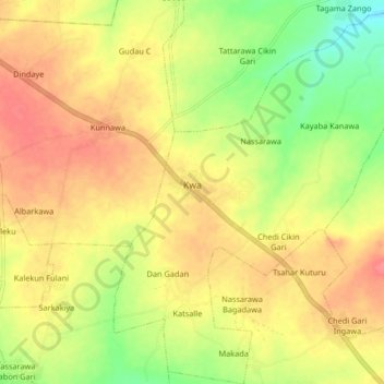
Name: Kwa topographic map, elevation, terrain.
Location: Kwa, Dawakin Tofa, Kano State, Nigeria (12.10485 8.35258 12.19349 8.43486)
Average elevation: 494 m
Minimum elevation: 456 m
Maximum elevation: 522 m