
Tempe topographic map
Interactive map
Click on the map to display elevation.
About this map
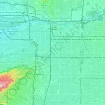
Name: Tempe topographic map, elevation, terrain.
Location: Tempe, Maricopa County, Arizona, USA (33.31987 -111.97847 33.46398 -111.87739)
Average elevation: 370 m
Minimum elevation: 317 m
Maximum elevation: 708 m