
Cordoba topographic map
Interactive map
Click on the map to display elevation.
About this map
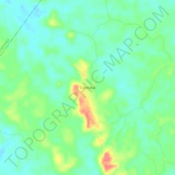
Name: Cordoba topographic map, elevation, terrain.
Average elevation: 104 m
Minimum elevation: 83 m
Maximum elevation: 150 m
Other topographic maps
Click on a map to view its topography, its elevation and its terrain.
La Salina
Colombia > Santander > San Vicente de Chucurí
La Salina, San Vicente de Chucurí, Yariguíes, Santander, Colombia
Average elevation: 318 m