
Mead topographic map
Interactive map
Click on the map to display elevation.
About this map
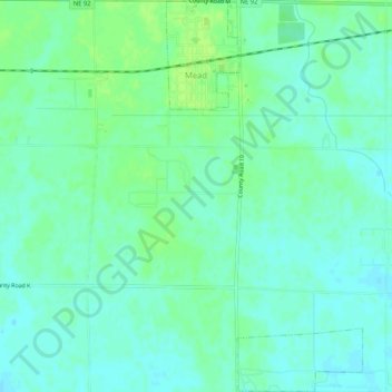
Name: Mead topographic map, elevation, terrain.
Location: Mead, Saunders County, Nebraska, 68041, United States (41.19489 -96.49323 41.23409 -96.46705)
Average elevation: 365 m
Minimum elevation: 359 m
Maximum elevation: 371 m
Other topographic maps
Click on a map to view its topography, its elevation and its terrain.
Cedar Bluffs
United States > Nebraska > Saunders County
Cedar Bluffs, Saunders County, Nebraska, United States
Average elevation: 394 m
Ashland
United States > Nebraska > Saunders County
Ashland, Saunders County, Nebraska, 68003, United States
Average elevation: 335 m
Wahoo
United States > Nebraska > Saunders County
Wahoo, Saunders County, Nebraska, United States
Average elevation: 371 m