
Thank you for supporting this site ❤️
Make a donation
Make a donation
Numanpaşa topographic map
Click on the map to display elevation.
Thank you for supporting this site ❤️
Make a donation
Make a donation
About this map
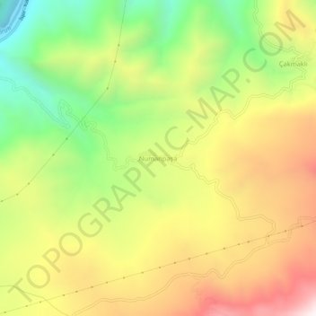
Name: Numanpaşa topographic map, elevation, terrain.
Location: Numanpaşa, İspir, Erzurum, Eastern Anatolia Region, Turkey (40.52755 41.09366 40.56755 41.13366)
Average elevation: 1,573 m
Minimum elevation: 1,006 m
Maximum elevation: 2,171 m
Thank you for supporting this site ❤️
Make a donation
Make a donation