
Make a donation
Rangeley topographic map
Click on the map to display elevation.
Make a donation
Rangeley
This climatic region has large seasonal temperature differences, with warm (and often humid) summers and cold (sometimes severely cold) winters. According to the Köppen Climate Classification system, Rangeley has a humid continental climate, abbreviated "Dfb" on climate maps. Similar to the rest of New England, snowfall is high in Rangeley, but due to the cold mean temperatures in winter, it remains on the ground for several months. Summer temperatures are moderated by the elevation and are thus cooler than other nearby towns.
Make a donation
About this map
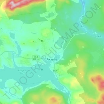
Name: Rangeley topographic map, elevation, terrain.
Location: Rangeley, Franklin County, Maine, United States (44.92166 -70.82363 45.03064 -70.62823)
Average elevation: 548 m
Minimum elevation: 421 m
Maximum elevation: 1,021 m
Make a donation
Other topographic maps
Click on a map to view its topography, its elevation and its terrain.