
Thank you for supporting this site ❤️
Make a donation
Make a donation
Columbia Basin topographic map
Click on the map to display elevation.
Thank you for supporting this site ❤️
Make a donation
Make a donation
About this map
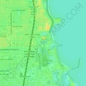
Name: Columbia Basin topographic map, elevation, terrain.
Average elevation: 180 m
Minimum elevation: 170 m
Maximum elevation: 195 m
Thank you for supporting this site ❤️
Make a donation
Make a donation
Other topographic maps
Click on a map to view its topography, its elevation and its terrain.
Beverly
United States > Illinois > Cook County > Chicago
Beverly, Morgan Park, Mount Greenwood, Washington Heights, and the City of Blue Island are considered part of the Blue Island Ridge. The prehistoric glacial ridge was once an island in a lake and later part of its western shore. The distinct geological history is the most significant in Chicago, being the…
Average elevation: 195 m
Thank you for supporting this site ❤️
Make a donation
Make a donation
Pullman National Historical Park
United States > Illinois > Cook County > Chicago
Average elevation: 182 m
Thank you for supporting this site ❤️
Make a donation
Make a donation
Thank you for supporting this site ❤️
Make a donation
Make a donation