
Thank you for supporting this site ❤️
Make a donation
Make a donation
Jwaneng topographic map
Click on the map to display elevation.
Thank you for supporting this site ❤️
Make a donation
Make a donation
About this map
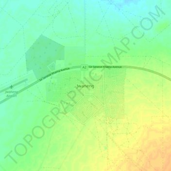
Name: Jwaneng topographic map, elevation, terrain.
Location: Jwaneng, Southern District, Botswana (-24.64042 24.69028 -24.56042 24.77028)
Average elevation: 1,193 m
Minimum elevation: 1,181 m
Maximum elevation: 1,207 m
Thank you for supporting this site ❤️
Make a donation
Make a donation