
La Cañera topographic map
Interactive map
Click on the map to display elevation.
About this map
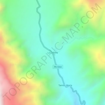
Name: La Cañera topographic map, elevation, terrain.
Location: La Cañera, Oxapampa, Pasco, Perú (-10.70698 -75.39977 -10.66698 -75.35977)
Average elevation: 1,906 m
Minimum elevation: 1,461 m
Maximum elevation: 2,848 m
Other topographic maps
Click on a map to view its topography, its elevation and its terrain.