
Mier Ward 1 topographic map
Interactive map
Click on the map to display elevation.
About this map
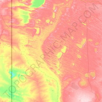
Name: Mier Ward 1 topographic map, elevation, terrain.
Average elevation: 848 m
Minimum elevation: 765 m
Maximum elevation: 919 m
Other topographic maps
Click on a map to view its topography, its elevation and its terrain.
Rietfontein
South Africa > Northern Cape > ZF Mgcawu District Municipality > Mier Local Municipality
Rietfontein, Mier Ward 3, Mier Local Municipality, ZF Mgcawu District Municipality, Northern Cape, South Africa
Average elevation: 849 m