
Ward 23 topographic map
Interactive map
Click on the map to display elevation.
About this map
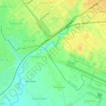
Name: Ward 23 topographic map, elevation, terrain.
Location: Ward 23, Chandigarh, India (30.67033 76.76150 30.69678 76.80503)
Average elevation: 317 m
Minimum elevation: 302 m
Maximum elevation: 332 m