
Ekurhuleni Ward 34 topographic map
Interactive map
Click on the map to display elevation.
About this map
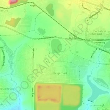
Name: Ekurhuleni Ward 34 topographic map, elevation, terrain.
Average elevation: 1,621 m
Minimum elevation: 1,567 m
Maximum elevation: 1,705 m
Other topographic maps
Click on a map to view its topography, its elevation and its terrain.
Ekurhuleni Ward 35
Ekurhuleni Ward 35, Germiston, City of Ekurhuleni Metropolitan Municipality, Gauteng, RSA
Average elevation: 1,624 m