
东谷镇 topographic map
Interactive map
Click on the map to display elevation.
About this map
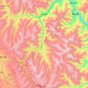
Name: 东谷镇 topographic map, elevation, terrain.
Location: 东谷镇, 丹巴县, 甘孜藏族自治州, 四川省, 626300, 中国 (30.40220 101.57033 30.86456 101.90197)
Average elevation: 3,828 m
Minimum elevation: 1,801 m
Maximum elevation: 5,402 m
Other topographic maps
Click on a map to view its topography, its elevation and its terrain.