
Konark topographic map
Click on the map to display elevation.
About this map
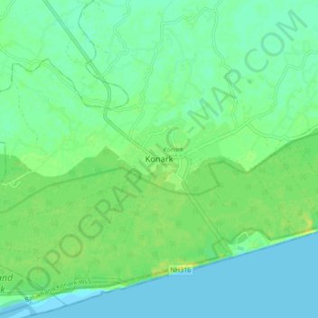
Name: Konark topographic map, elevation, terrain.
Location: Konark, Puri District, Odisha, 752111, India (19.84994 86.05231 19.92994 86.13231)
Average elevation: 7 m
Minimum elevation: 0 m
Maximum elevation: 18 m