
Freixa topographic map
Interactive map
Click on the map to display elevation.
About this map
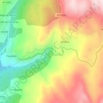
Name: Freixa topographic map, elevation, terrain.
Location: Freixa, Xesta, A Lama, Pontevedra, Galicia, 36853, España (42.38222 -8.40113 42.38232 -8.40103)
Average elevation: 604 m
Minimum elevation: 372 m
Maximum elevation: 824 m
Other topographic maps
Click on a map to view its topography, its elevation and its terrain.