
Thank you for supporting this site ❤️
Make a donation
Make a donation
Kampong Petani topographic map
Click on the map to display elevation.
Thank you for supporting this site ❤️
Make a donation
Make a donation
About this map
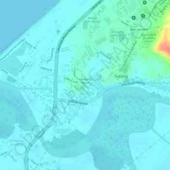
Name: Kampong Petani topographic map, elevation, terrain.
Location: Kampong Petani, Mukim Pekan Tutong, Tutong District, Brunei (4.79830 114.65119 4.81218 114.66144)
Average elevation: 9 m
Minimum elevation: 0 m
Maximum elevation: 62 m
Thank you for supporting this site ❤️
Make a donation
Make a donation
Other topographic maps
Click on a map to view its topography, its elevation and its terrain.