
ANANTAPURAM topographic map
Interactive map
Click on the map to display elevation.
About this map
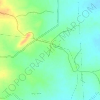
Name: ANANTAPURAM topographic map, elevation, terrain.
Location: ANANTAPURAM, Kadapa, YSR, Andhra Pradesh, 516257, India (14.19361 78.73126 14.19723 78.73197)
Average elevation: 337 m
Minimum elevation: 322 m
Maximum elevation: 359 m