
Champerico topographic map
Interactive map
Click on the map to display elevation.
About this map
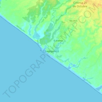
Name: Champerico topographic map, elevation, terrain.
Location: Champerico, Retalhuleu, Guatemala (14.25365 -91.95181 14.33365 -91.87181)
Average elevation: 6 m
Minimum elevation: -1 m
Maximum elevation: 25 m