
Kouga topographic map
Interactive map
Click on the map to display elevation.
About this map
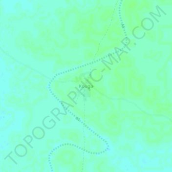
Name: Kouga topographic map, elevation, terrain.
Location: Kouga, Salamat, Chad (9.94531 21.10188 9.98531 21.14188)
Average elevation: 419 m
Minimum elevation: 415 m
Maximum elevation: 422 m